Lighthouse Touring in Newport RI
(~111 miles)
I’ve always enjoyed visiting lighthouses, for their unique visual beauty and scenic surroundings (usually), and have learned that many of them have interesting histories behind them as well. When I learned that the Iron Butt Association had a Lighthouse Tour certification, I knew I’d NEED to partake. The IBA loosely based this motorcycle “grand tour” around the US Lighthouse Society’s Passport Program, where you visit participating lighthouses and get a ink stamp in a passport book in exchange for a small donation to support lighthouse preservation, etc. So over the winter I purchased a passport book, an IBA generic rally flag, downloaded a GPS file of a whole mess of US lighthouses, and set about planning out some routes in my Basecamp mapping software.
 As I plotted and schemed, using reference sites like lighthousefriends.com, I realized that obtaining the ink passport stamps might be actually harder than riding the miles to visit all the lighthouses themselves. First, only a small subset of lighthouses participate in the stamp program; second, many of the stamps appear to be available only during limited visiting hours, often at nearby marinas or harbormaster offices, rather than at the actual lighthouse. Luckily, the IBA allows for alternate documentation of your visit, including a photo of the lighthouse that includes your IBA rally flag and an electronically generated receipt from a business in the area of the lighthouse to prove the date of your visit.
 After recent warm days melted most of the February snow and Saturday showers washed the roads of most of their salt, it was a perfect opportunity to collect my first lighthouses during an afternoon run to Newport. Some local back roads and MA 152 brought me down into East Providence along the Providence River’s east bank. A quick right into the local waste water treatment plant (gate was open) brought me to a nice view of Pomham Rocks Light, out in the river.
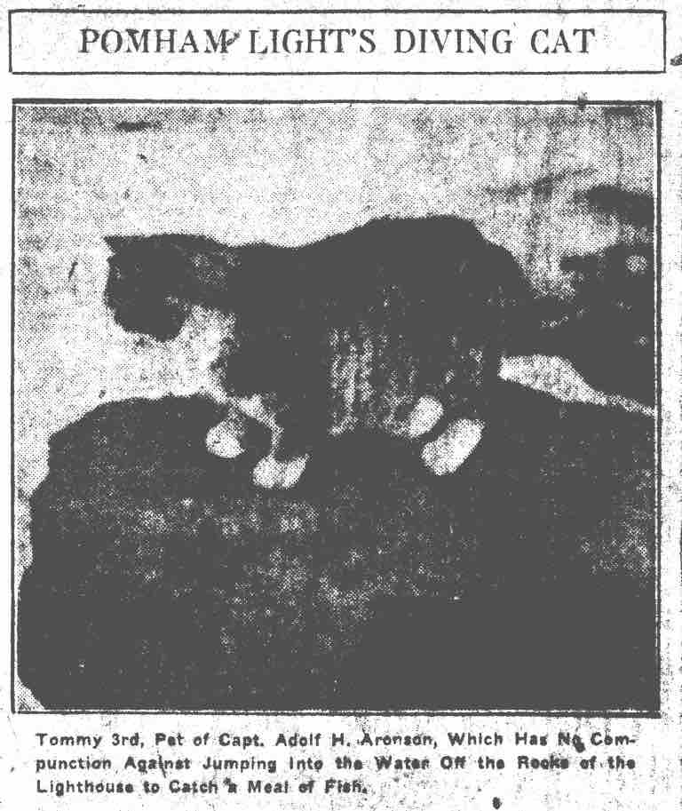
Interesting factoid: this lighthouse once had a cat named Tommy who would dive in the ocean to catch fish.

Pomham Rocks Lighthouse

Nayatt Point Light
I continued south through Riverside by Carousel Park, where I found a convenience store to buy some Gatorade and more importantly…a receipt documenting my presence in the area. Then I zig-zagged a bit further south to Nayatt Point, a swanky neighborhood near the very private looking Rhode Island Country Club. Missed the turn onto Nayatt Rd at first, then followed the GPS down a tiny lane with huge well-kept modern homes to a dead end with a private residence that used to be Nayatt Point Light in front of me.

This spot turned out to be a twofer, as I also had a very decent look out to Conimicut Lighthouse, a spark-plug style light out on a rock in the Providence River.

Conimicut Lighthouse
It looks (and was) sunny, but with temps in the low 40s and dropping with a stiff westerly breeze, I didn’t want to stand around for long without the benefits of my heated gear. I got moving again fairly quickly onto RI 114 through Barrington and Warren, down the strip-mail gauntlet of RI 136 to Mt. Hope Bridge and the hidden gem of a lighthouse beneath it – Bristol Ferry Lighthouse.

Bristol Ferry Lighthouse
This is another private residence with warning signs not to come too close. I often wonder if the power pole was placed strategically to foil photographers coming down to shoot the light. It’s a shame as they really detract from the view. I crossed Mt. Hope Bridge (always a pleasurable view) onto Aquidneck Island and turned off on a local road I’d chosen from the map (and pre-scouted with Google Earth) as it looked to provide decent views to Hog Shoal Light. Scouting paid off as I was able to enjoy this nice view between two houses:

Hog Shoal Light
Down 114 a bit further, I traveled to the end of Cory’s Lane to attempt a similar capture of Prudence Island Light, across the water:

Prudence Island Light
…unfortunately, getting the rally flag in the photo while still making the lighthouse recognizable proved rather difficult, and I’m not convinced the IBA will allow this one, as the lighthouse becomes a speck in the distance:

Speck of Prudence Island Light
There is a ferry to the island, but I believe there’s no road to get to the lighthouse, so I may need to pass on this particular light. This is where the rules get a bit fuzzy – the idea is to ride to all these lighthouses but there is no explicit rule stating your motorcycle need be in the photos. There appears to be some leeway for interpretation, though the lighthouse MUST be recognizable. Perhaps I’ll take the ferry some day and make the short walk in my MC gear to get a selfie with my flag…that should satisfy em!
I had to park the bike in a rather precarious spot at the top of a sand-covered paved ramp to even attempt that shot, but was able to carefully extricate myself without falling over. Plugged back in for warmth, I continued south into Newport proper, which I zipped on through in the non-existent winter traffic. Out on the causeway to Goat Island, I pulled over to enjoy the view of Newport Bridge and to capture Newport Harbor Lighthouse:

I’d never really explored Newport all that much due to the usual crowds and traffic in the warmer season. I’d never heard of, let alone been on, tiny Goat Island until this lighthouse hunt. Most of the island seems to consist of a hotel and some condos, but apparently was at one time the location of a couple different military forts and the only torpedo manufacturing facility in the US. The off-season continued to yield benefits for my quest, with the public parking lot gates wide open and lot empty, allowing me to ride straight through to the seawall and capture a shot of the lovely Rose Island Lighthouse – probably the closest spot anywhere to get a decent picture from land:

Rose Island Lighthouse
Boy, was it breezy! Temperature had dropped below forty by this time, probably lower including windchill. I crossed back to the mainland and wound through town, this pub mural (complete with saucey wenches) catching my eye:


 I pressed on down Thames St, where a few hardy tourist folk still walked and shopped, winter be damned. Circling around the harbor, I tried to find a view of Ida Lewis Rock Light, which is built into the structure of a yacht club building at the end of a private pier.
The history of this lighthouse is notable in that the daughter of the first keeper, Ida Lewis, took over for her crippled father, was made keeper herself after his death and tended the light for some 60 years until she passed on herself. During that time she became quite famous for her heroic efforts to save distressed boaters, receiving medals and a visit from President Grant. The lighthouse was later renamed in her honor, breaking from the usual tradition of geographical names.
I noted Fort Adams just across the water with parking lots galore, and headed there. I was able to get a shot of the lighthouse…just barely:

Ida Lewis Rock Light
That white building in the upper left is the lighthouse/yacht club, with the actual light on the left upper edge, discernible only by the pointed roof gable. We’ll see if the IBA certifying team has eaten their carrots the day they score me…

Last for the day, but not least, was to be the beautiful little Castle Hill Light at the end of Narragansett Bay. Alas, being cold and ready to turn for home, I came away only with this poor effort, taken from the parking lot of the big inn just uphill:

I won’t embarrass myself by submitting this one (just here!), but rather will return when I’m thinking more clearly, to find a walking paths from which to get a better shot.
My collecting done for the day, I enjoyed a very nice sunset ride east along the bottom edge of Aquidneck Island on Ocean Ave, able to enjoy the wonderful seaside curves with no traffic foiling my efforts for most of the way. Then a short zigzag through the mansion district on Bellevue Ave and over to Sachuest Point Road. This is a familiar BONE route and was satisfying to ride, after the recent weeks cooped up from snow and salt.
Though I didn’t get a receipt for each visited lighthouse, I filled my tank at the Cumbie’s in Middletown, hoping that it will serve as bookend documentation of the days ride, along with the receipt from Riverside. The seven lighthouses I’d collected were all within 40 miles or so of each other, with not many routes in between. Then it was back home on the secondary highways, stopping once for a warm-up in the ever-handy McDonalds, arriving home in late twilight.
